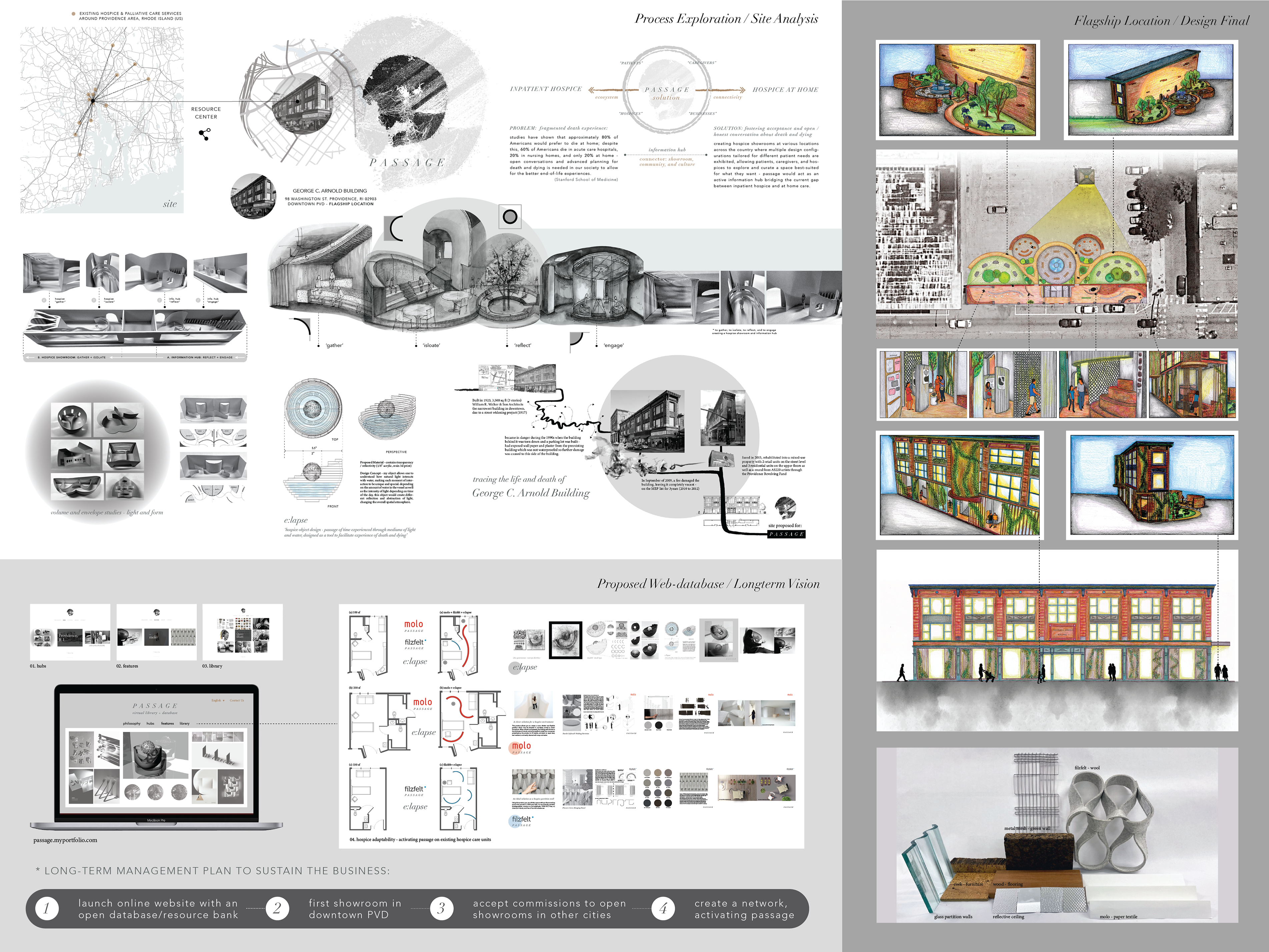
DISTRUPTIVE INFRASTRUCTURE
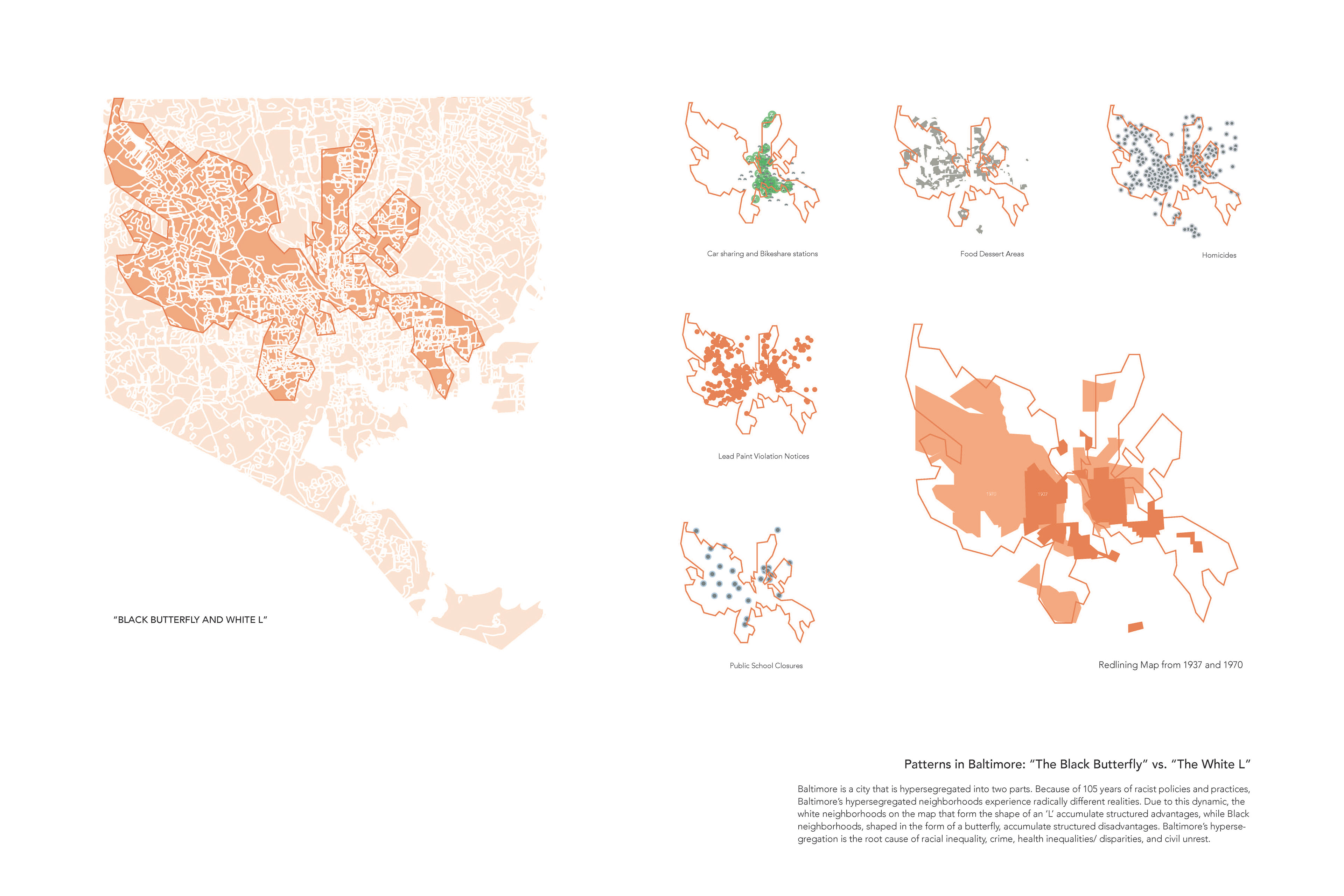
B A L T I M O R E S O C I A L E N V I R O N M E N T
This project looks at Baltimore, MD as an example of a modern city that is still shaped by massive infrastructural constructions of the latter 20th century. Baltimore, like many cities, went through a period of dramatic change as large swaths of the city were demolished to make way for high-speed, multilane roadways. This period of infrastructural urbanism began at a time when social inequality was codified in the city by discriminatory housing policies. These roadways have both reinforced these inequalities and subverted the city’s natural systems.
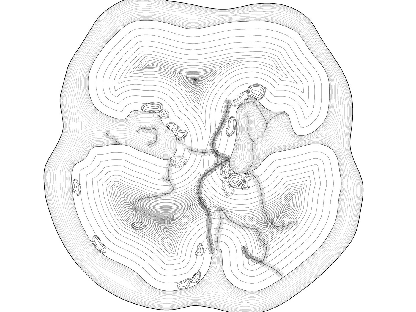
In order to understand the fabric of a city, the project focuses on a multi-scalar design in the context of the infrastructural, environmental, and social systems of Baltimore. I examined the role that one set of structures: the Jones Falls River culvert and the Jones Falls Expressway (I-83), has played in disrupting the urban, public, and hydrological core of the city. As a method to engage in a range of analytical and expressive practices, the project includes mapping, experiential observation, abstract modeling, and fabrication as the core methods to dismantle and reconfigure the hierarchical structures of the city.
The stance of this project is predicated on the idea that a number of large-scale urban infrastructures were built in an era when environmental and social values were suppressed or unconsidered. As such, issues of social inequality and environmental health remain embedded-in-and-reinforced-by the spatial fabric of cities. The expectation of the project is to reposition the question of who cities are built for and what is given priority and to alter current unbalanced relationships.
DISTRUPTIVE NARRATIVE:
(A) How are cities composed?
(B) How do city infrastructures tell a story of how people inhabit a place?
(C) How does infrastructure create divisions and boundaries in cities?
(D) How can landscape infrastructure and public space reconfigure the spatial and social relationships of a city?
PROCESS 1. EXTRACTIVE MAPPING
extraction (n): the act or process of getting something by pulling it out, forcing it out, etc.
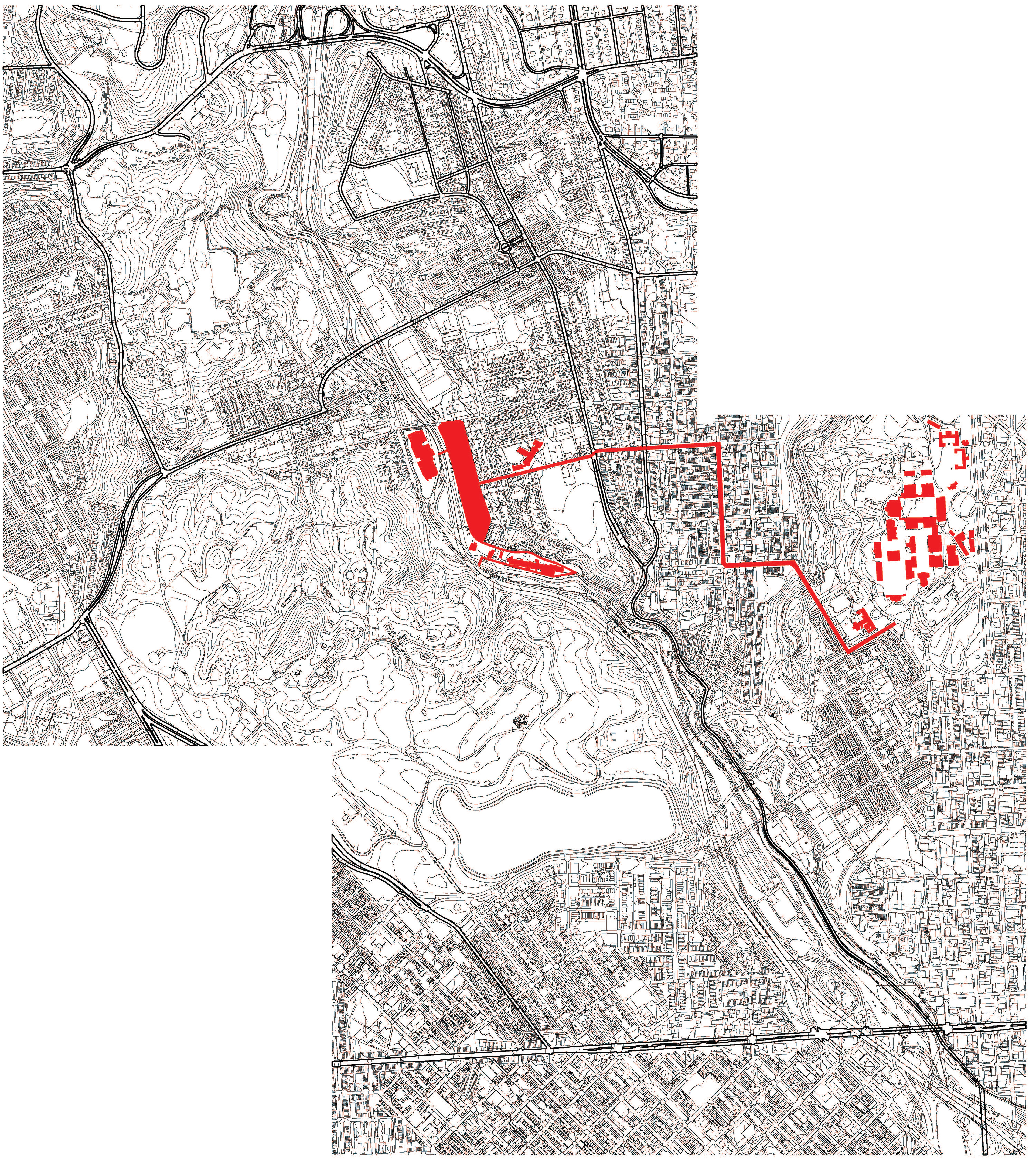
Long Distance Mapping: Social Framework Research Narrative
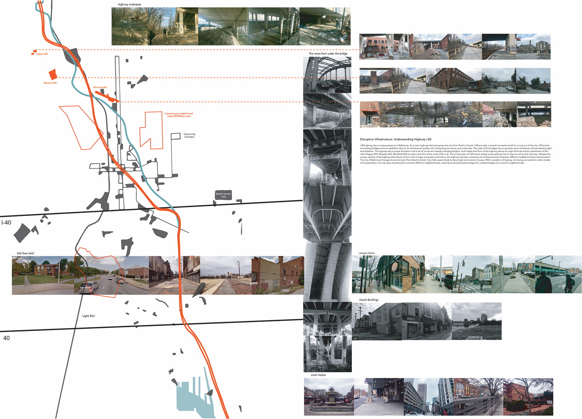
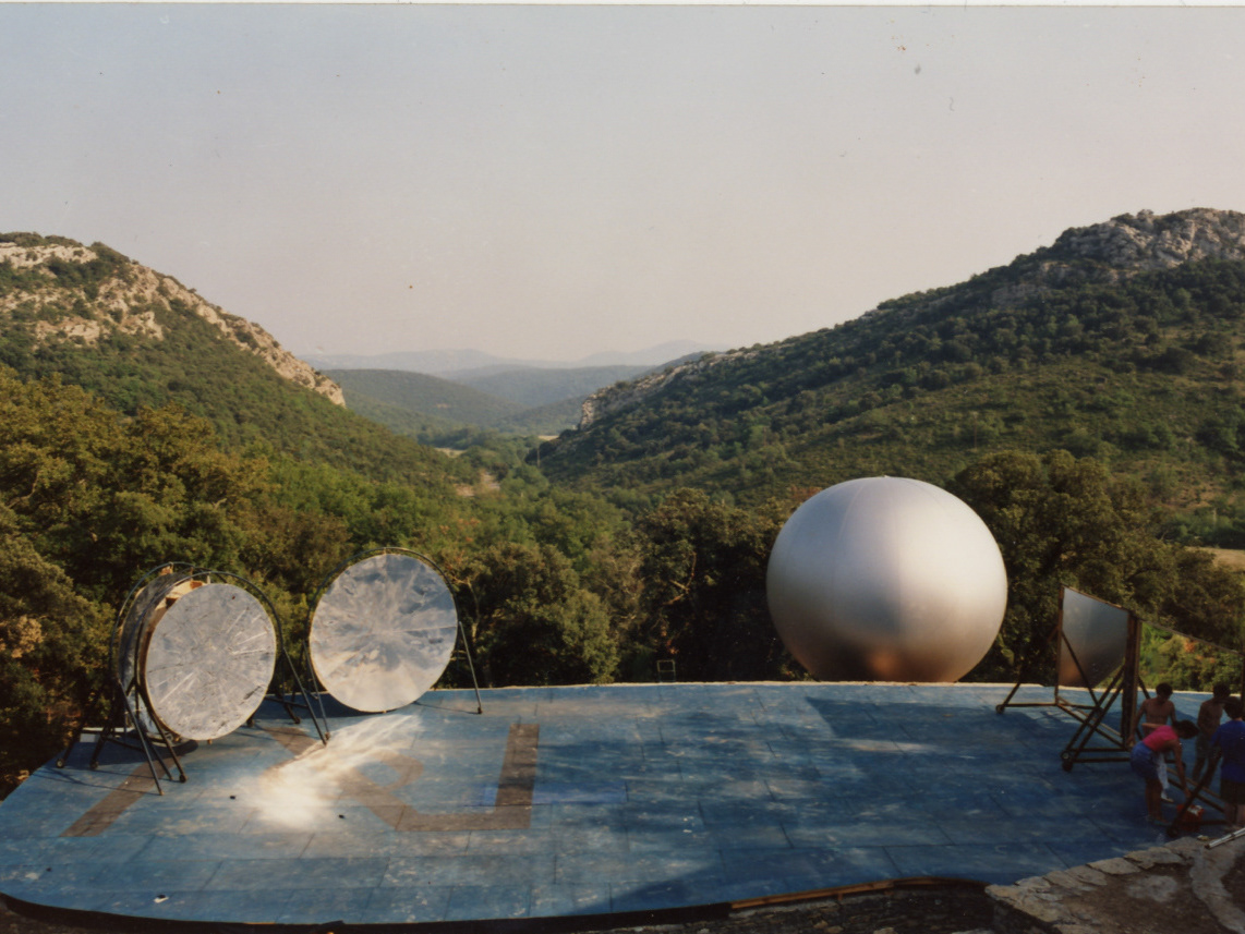
Photographic Essay - Site Analysis After a Visit
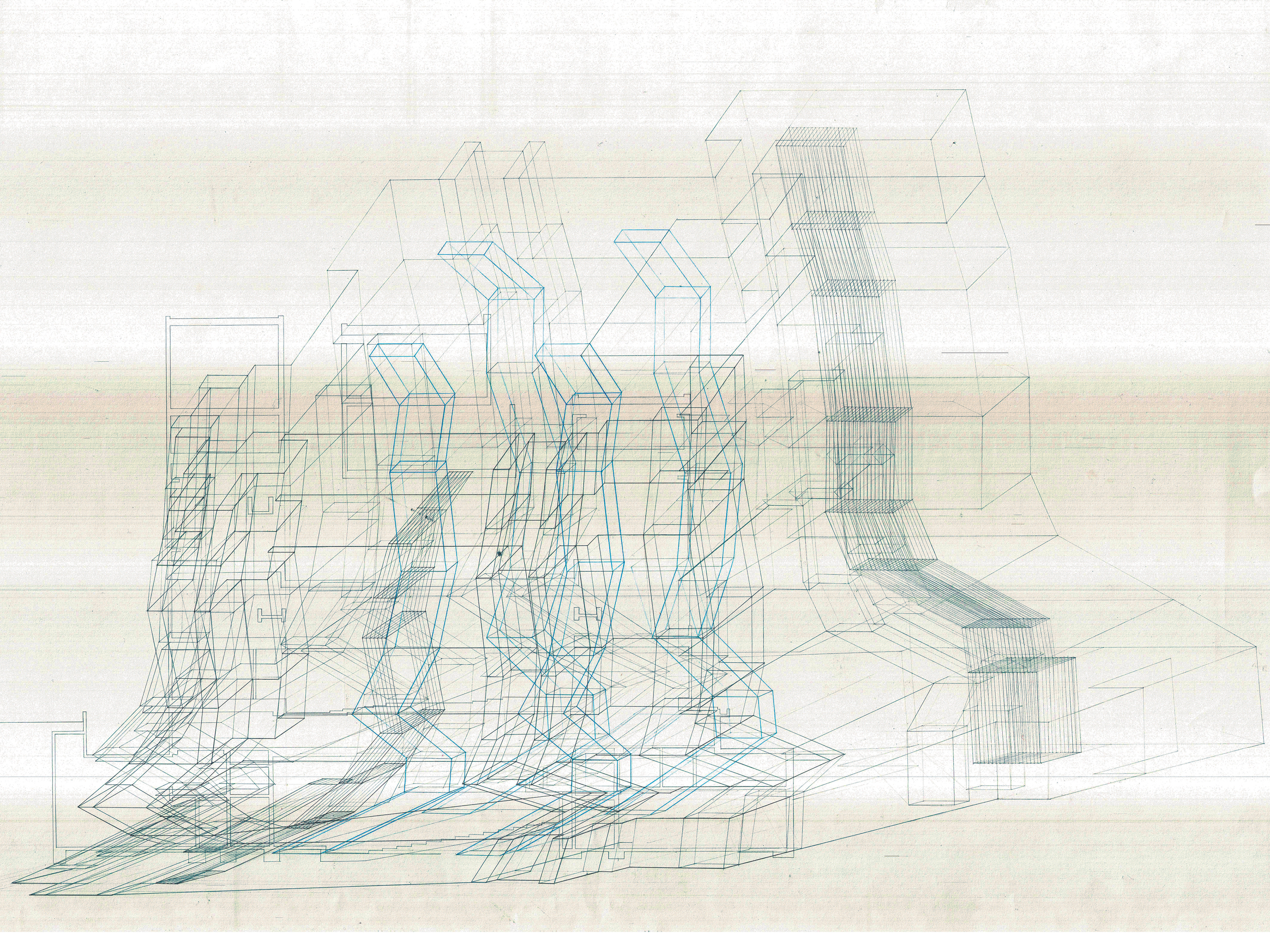
PROCESS 2. URBAN NARRATIVE
narrative (n): a written, spoken, or illustrated account of connected events; a story

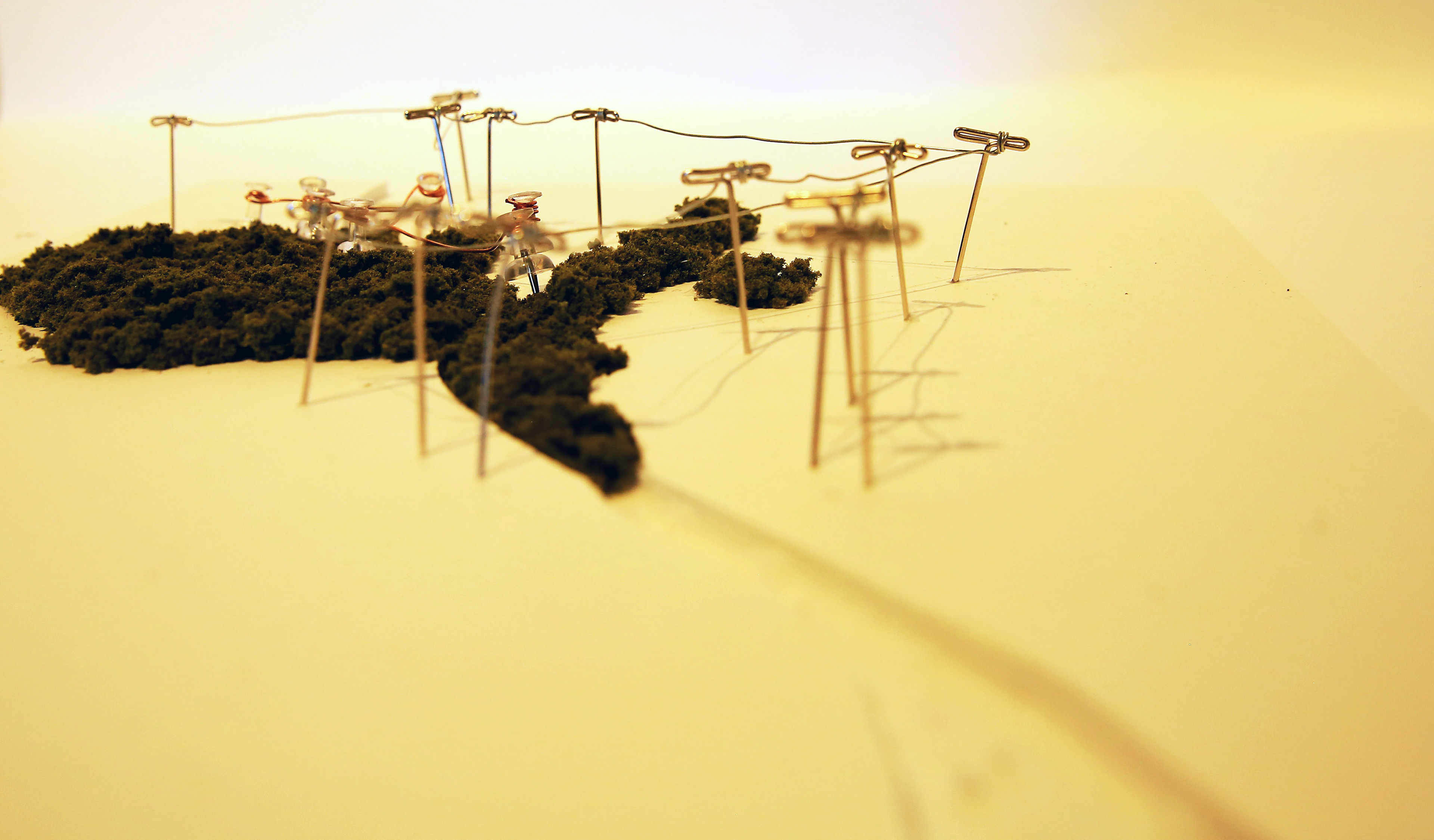
Acrylic
Highway + Track + Buildings
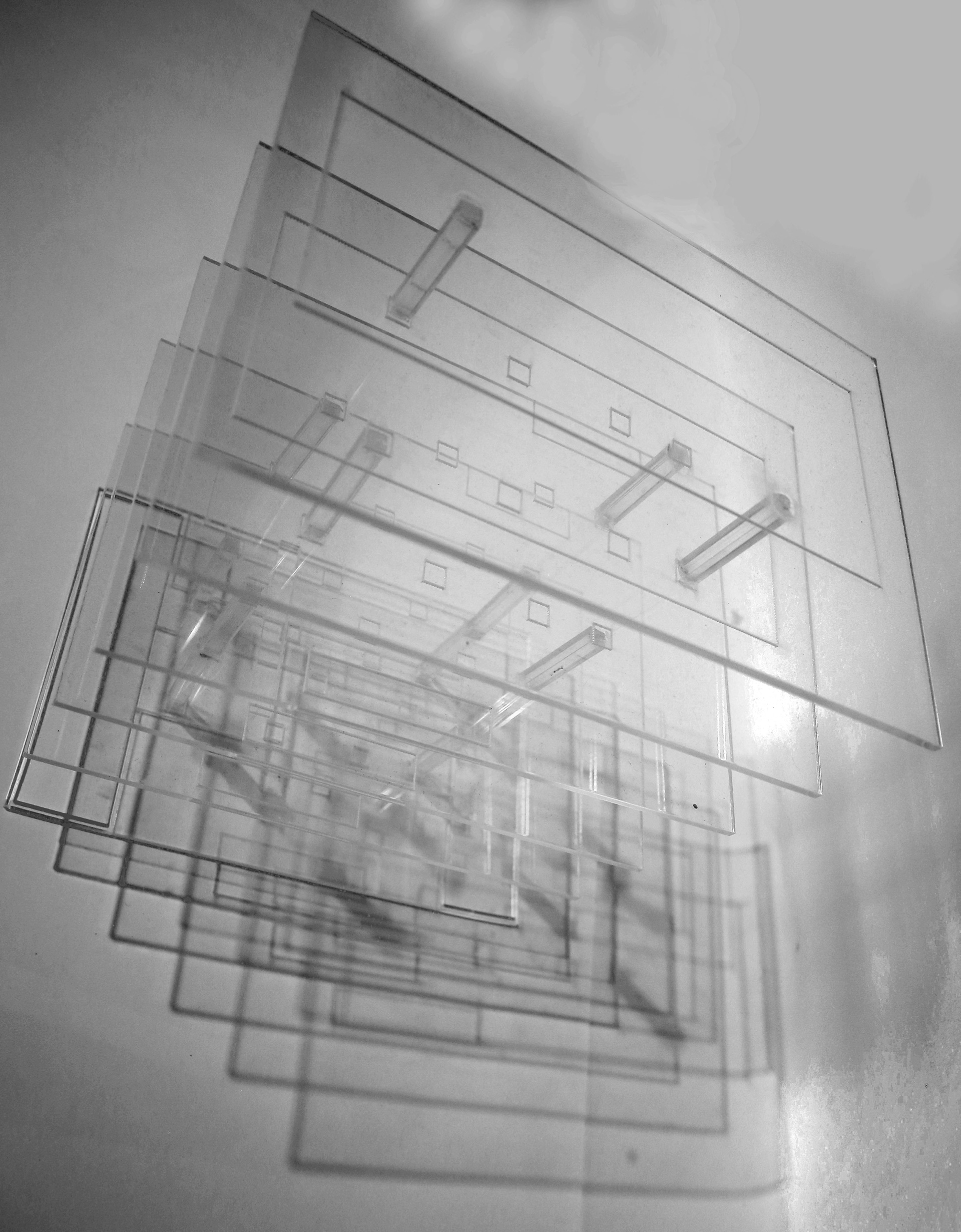
Acrylic
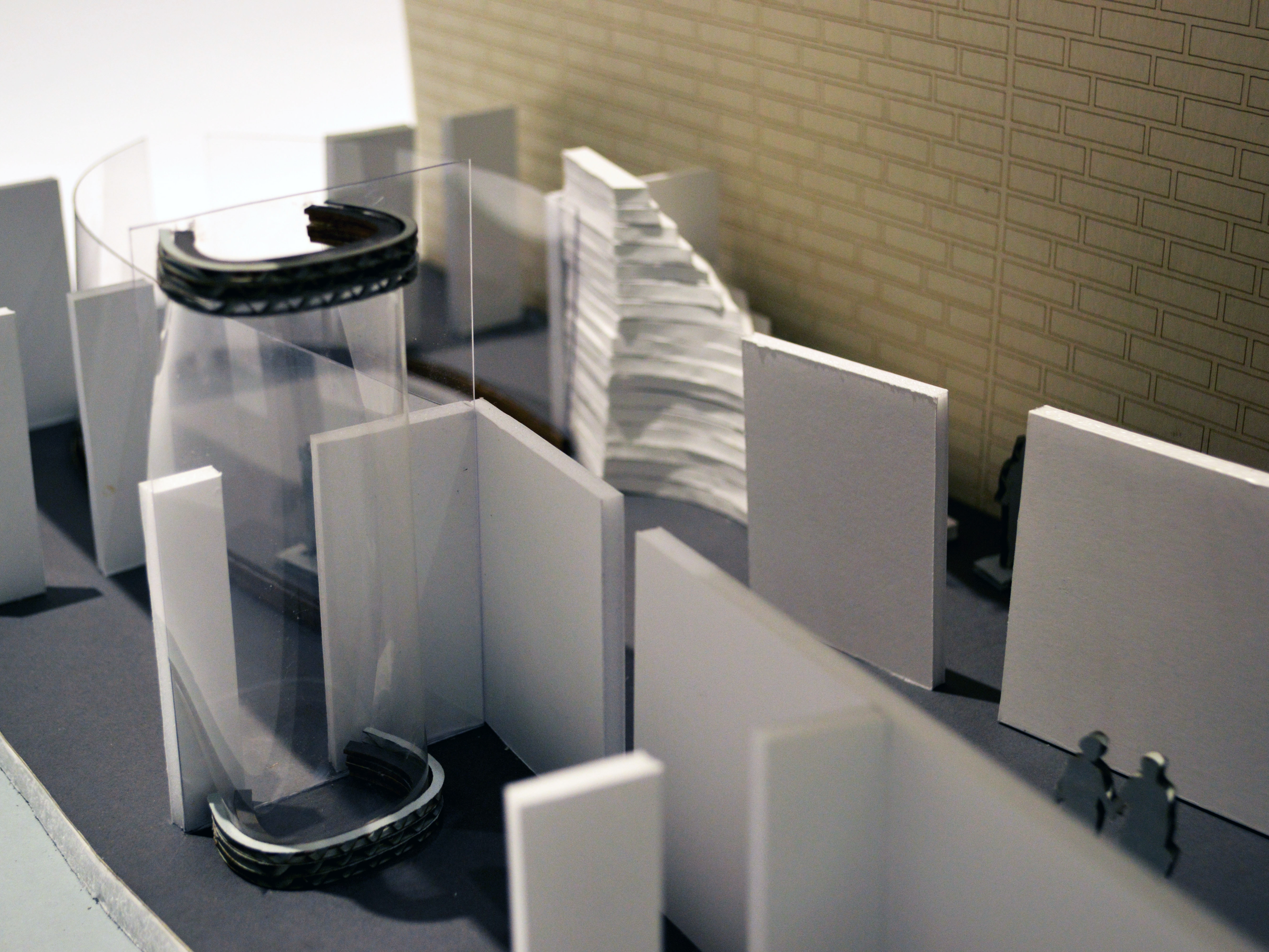
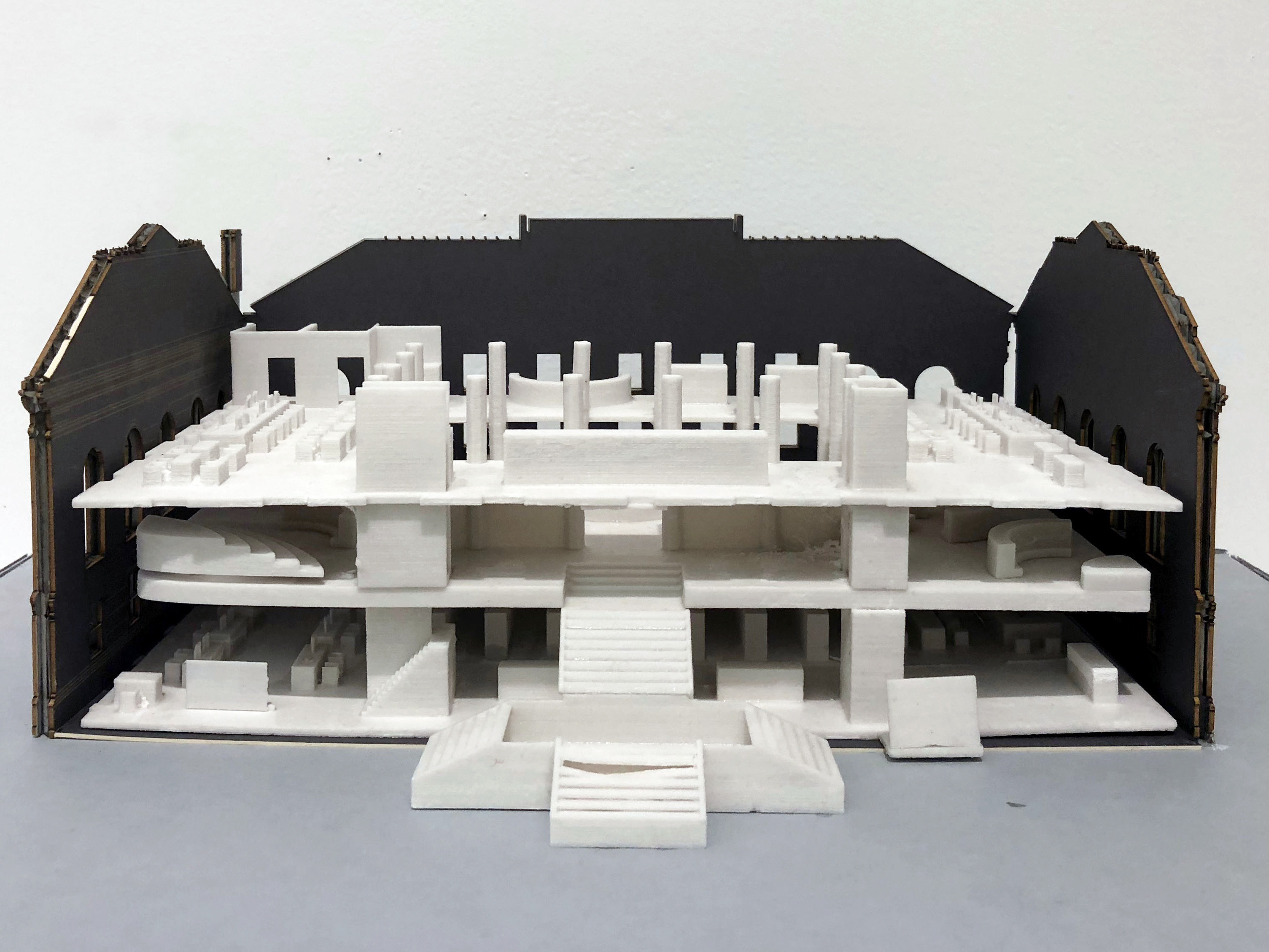
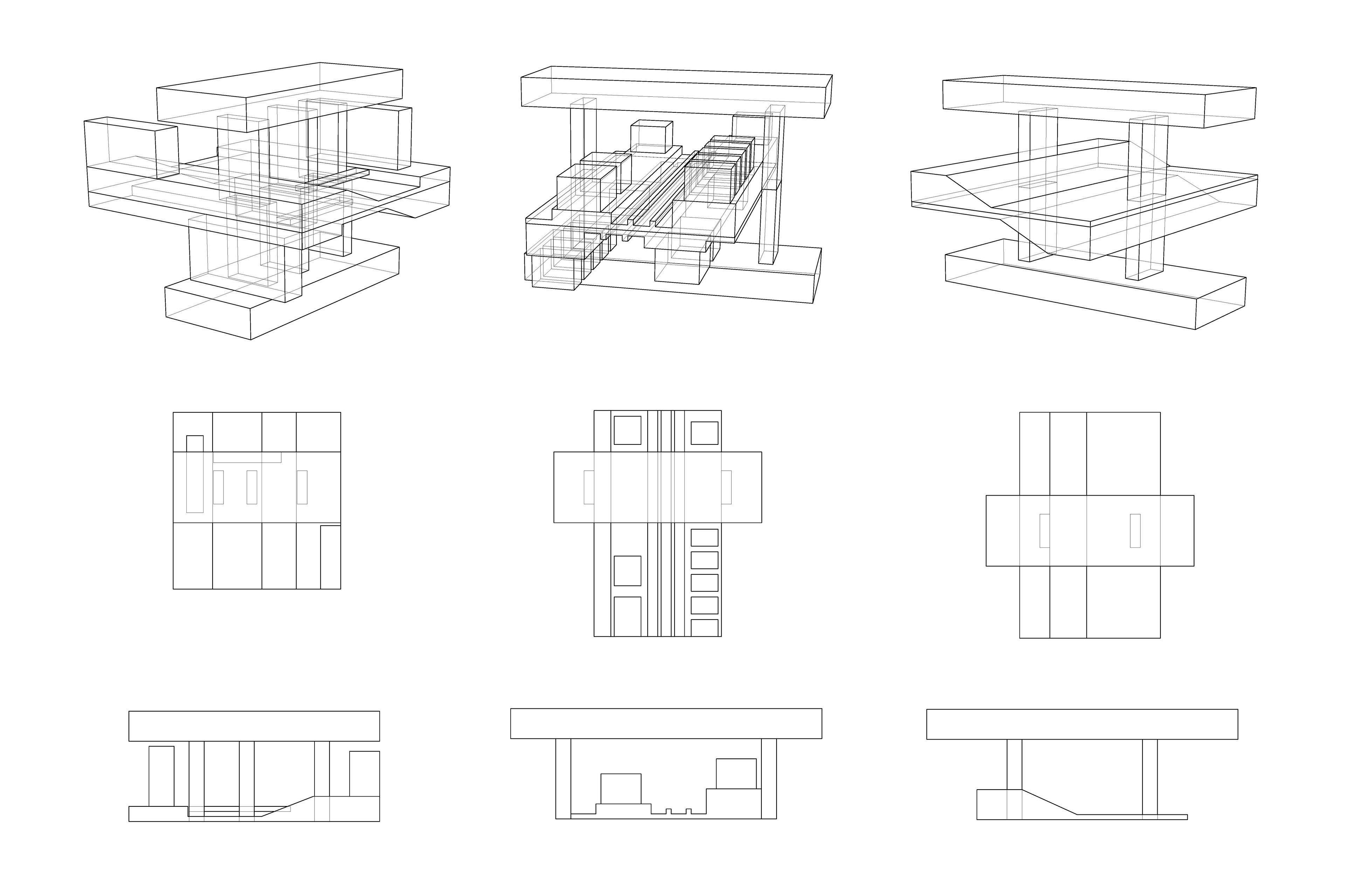
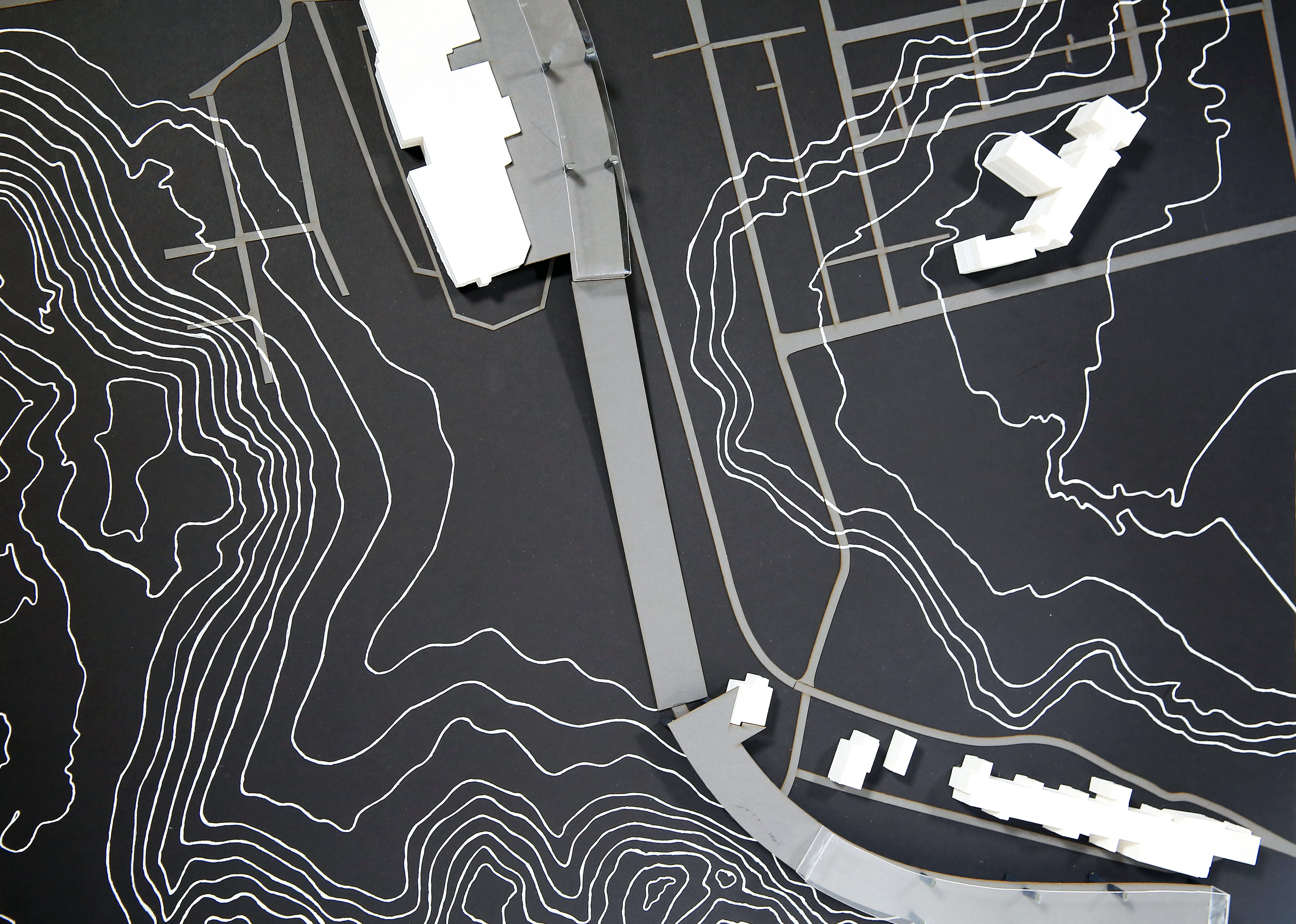
Concept Model (1): Existing Conditions - Urban Systems
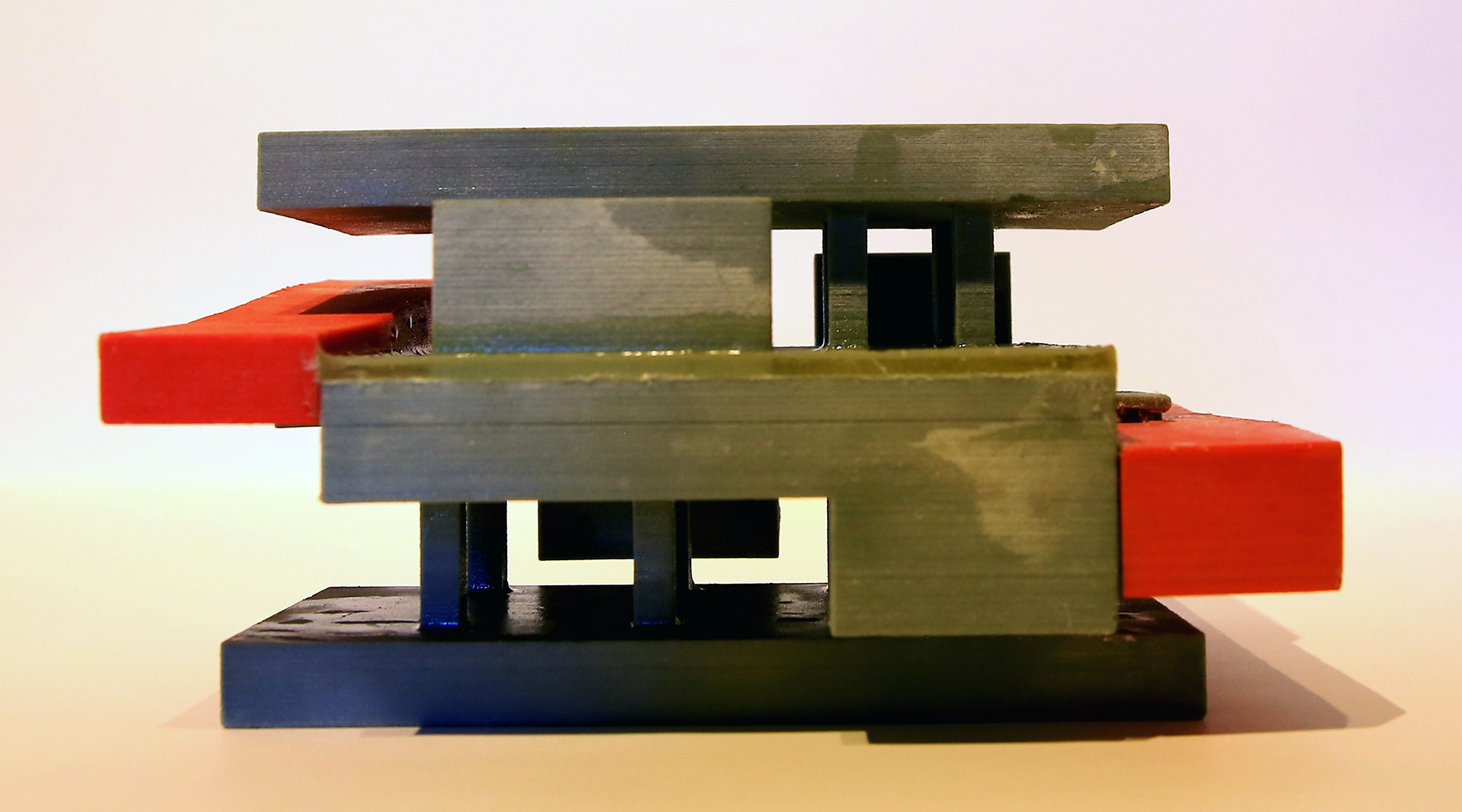
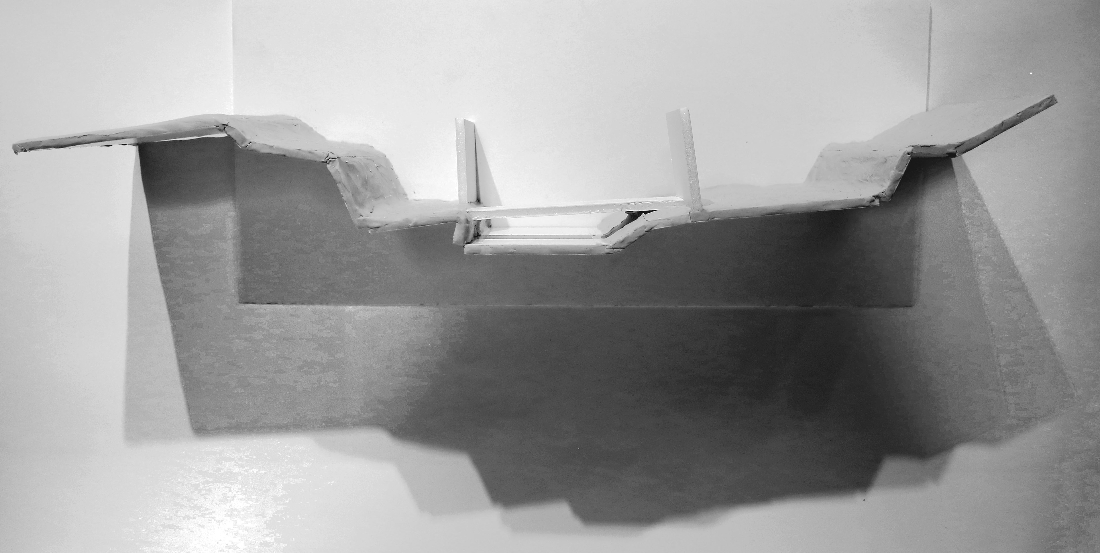
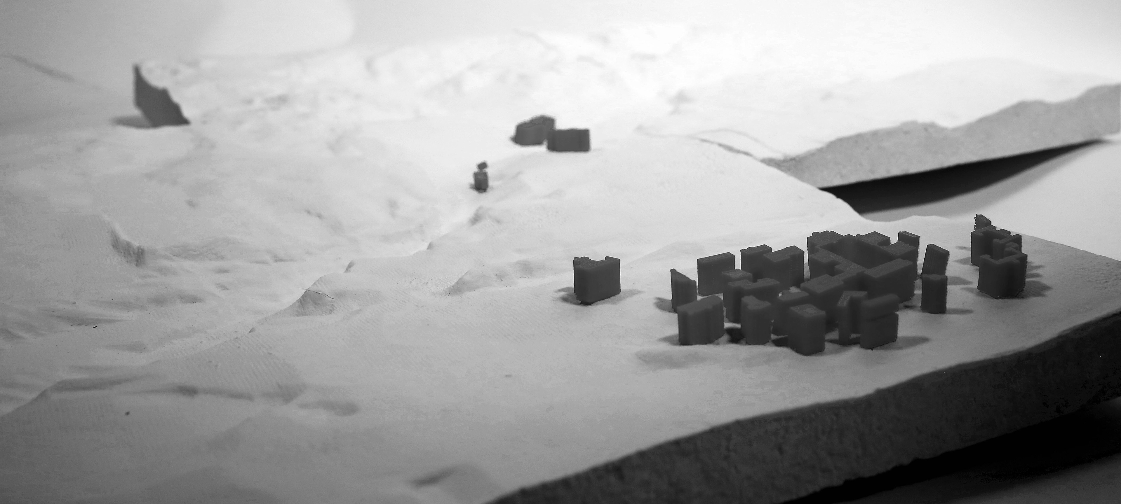
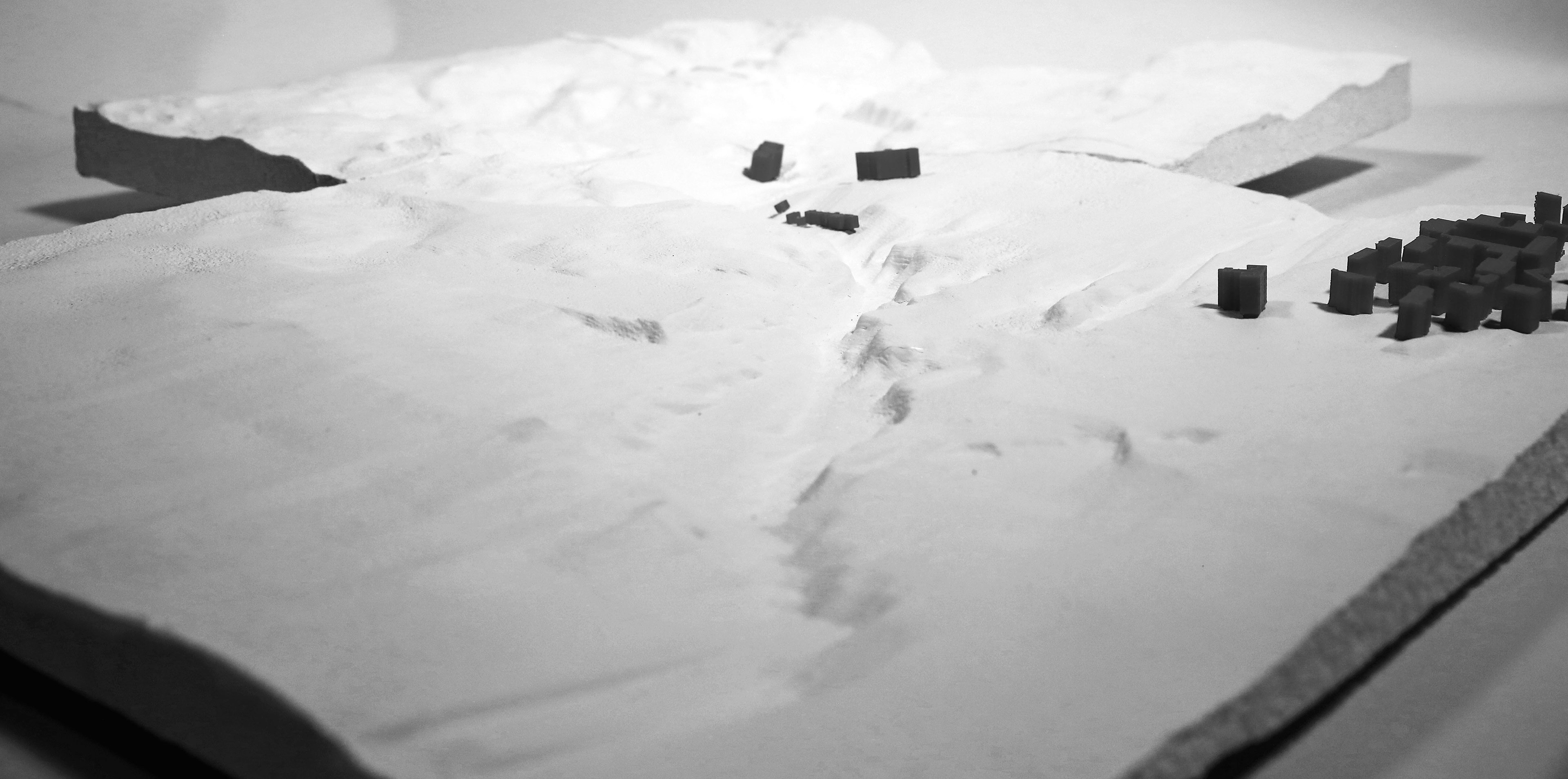
Gypsum-Based 3D printing + Resin Casting
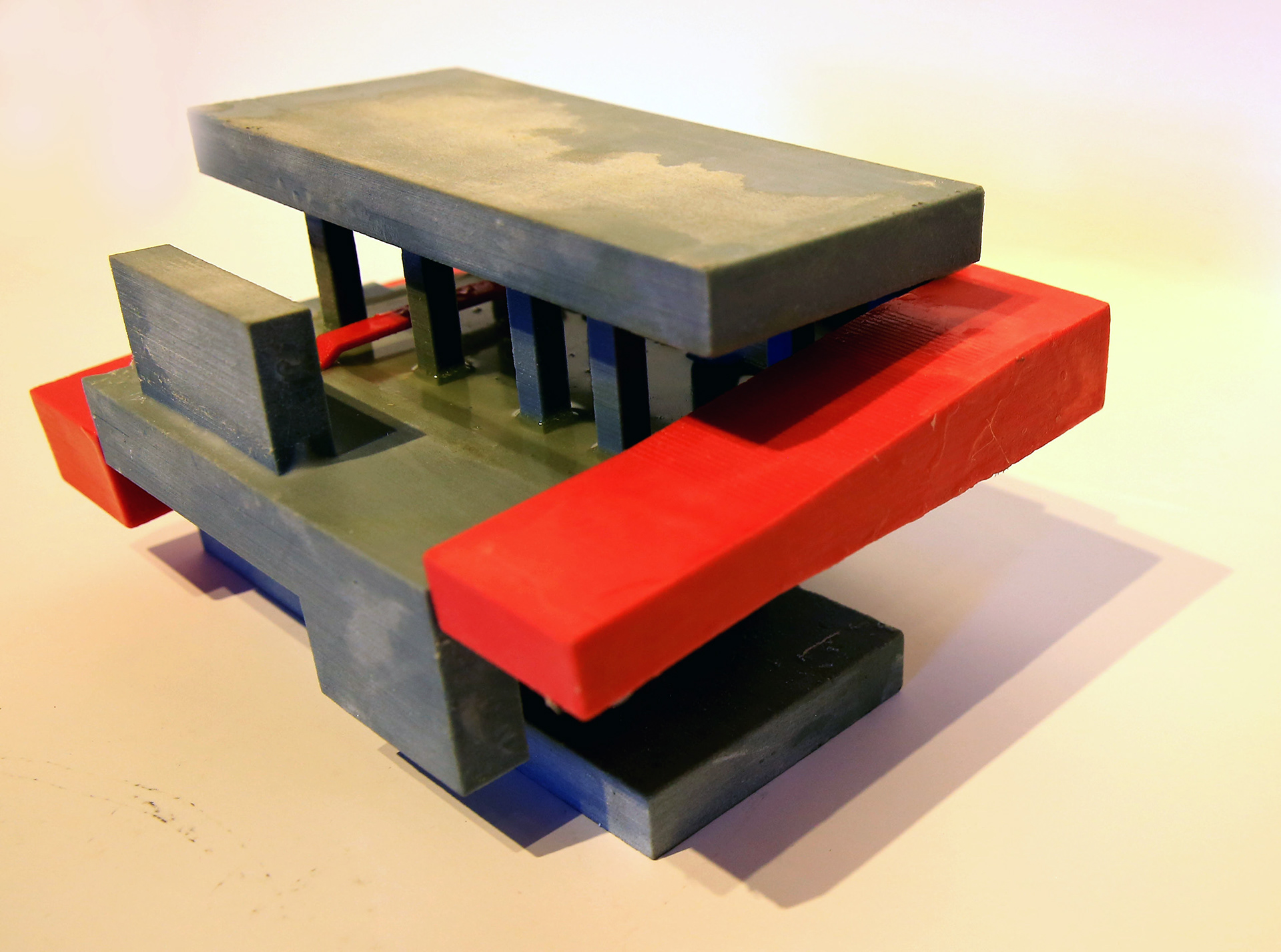
Gypsum-Based 3D printing + Resin Casting
Gypsum-Based 3D printing
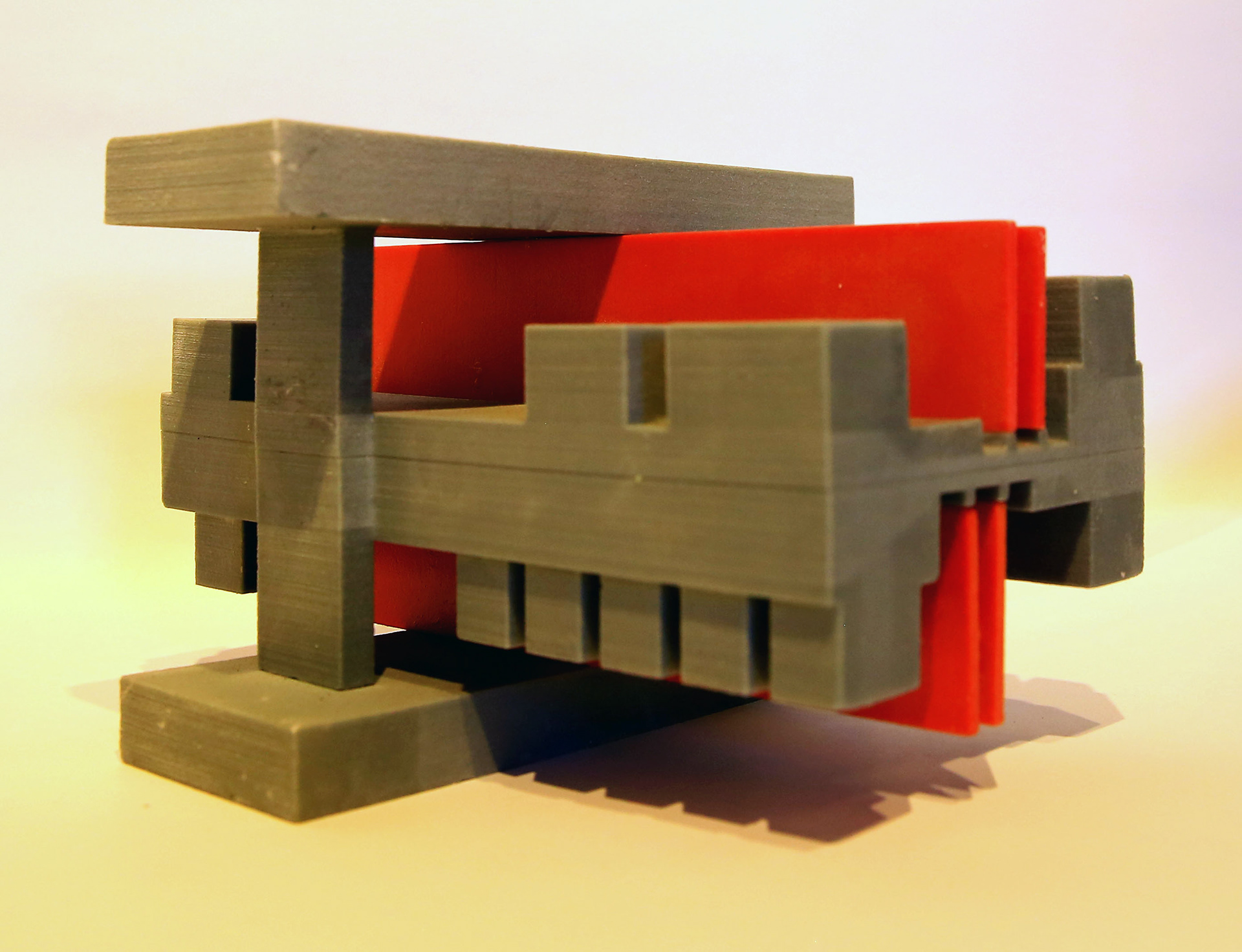
Gypsum-Based 3D printing
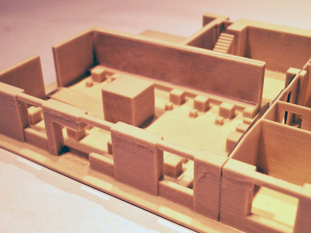
Concept Model (2): Existing Conditions - Flooding Analysis of the Highway Underpass
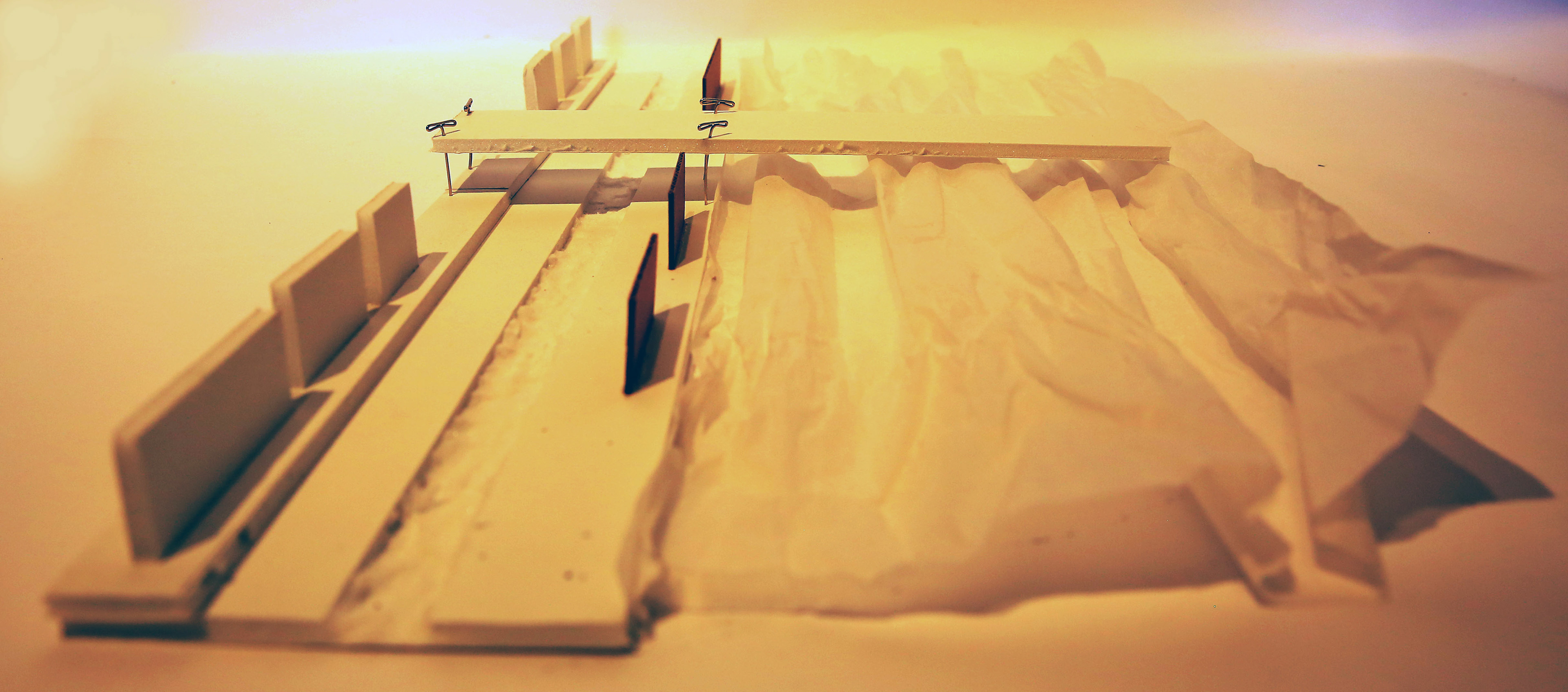
Foamcore, Cardboard, Tracing Paper, Pushpins

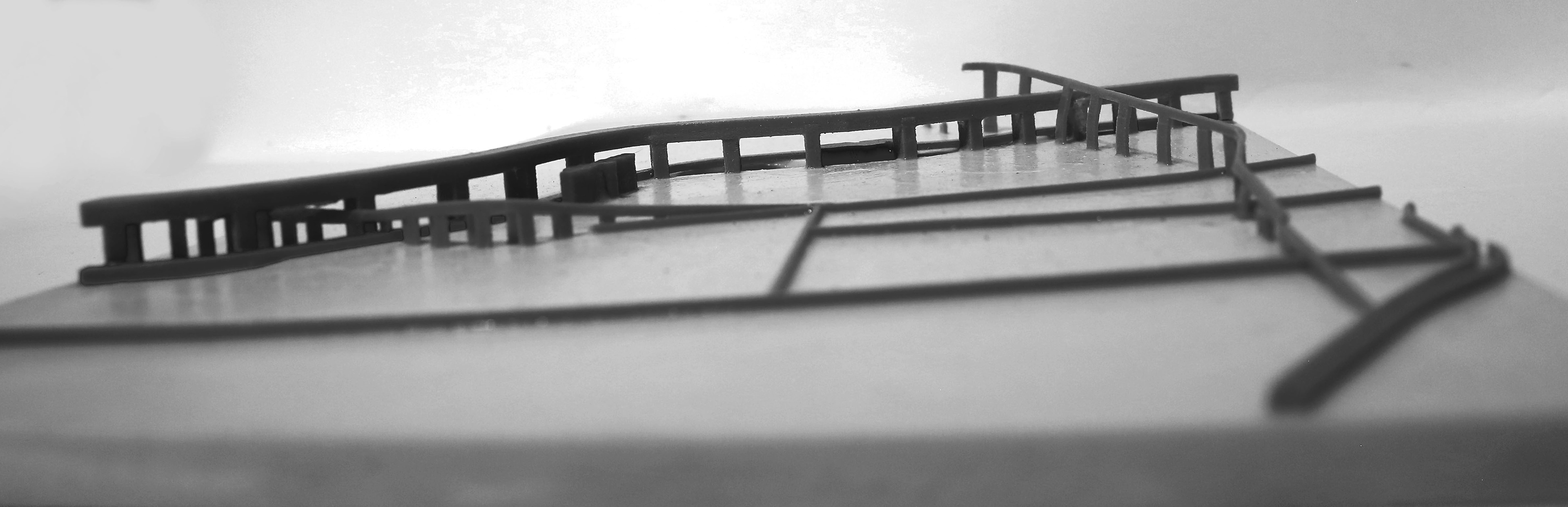
Cardboard, Tracing Paper, Black Tapes
Foamcore, Cardboard, Tracing Paper
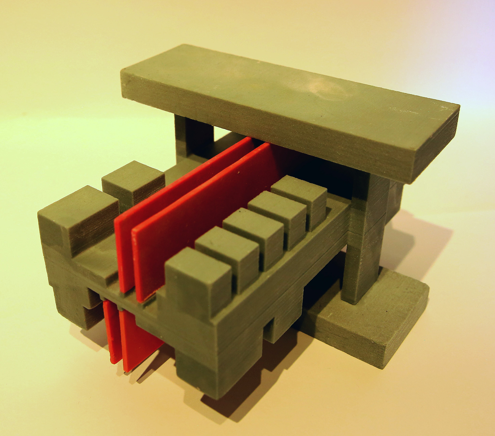
Concept Model (3): Existing Conditions - Different Types of Movement
PROCESS 3. INTERLOCKING PUBLIC
interlock (n): a device or mechanism for connecting or coordinating the function of different components
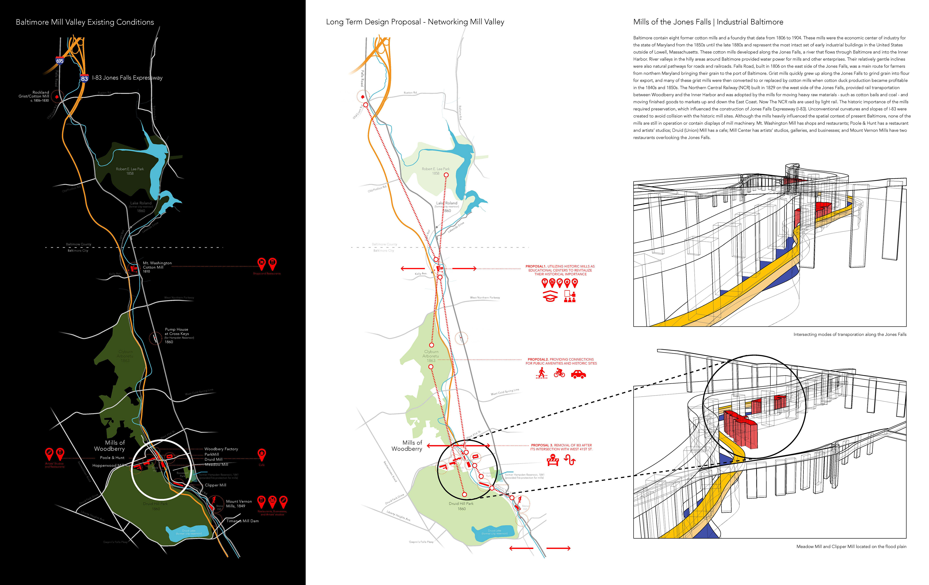
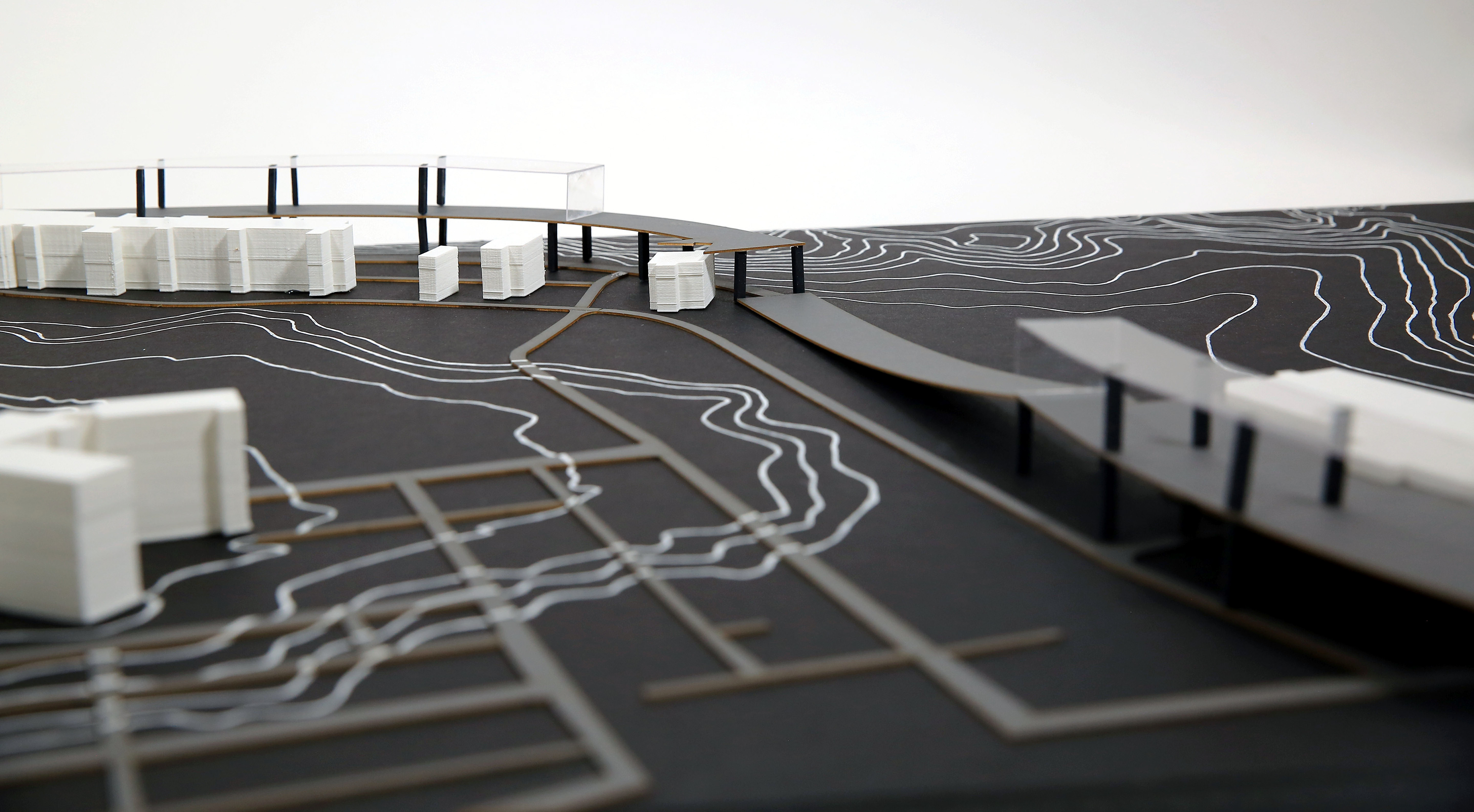
Long Term Design Proposal for Networking Mill Valley

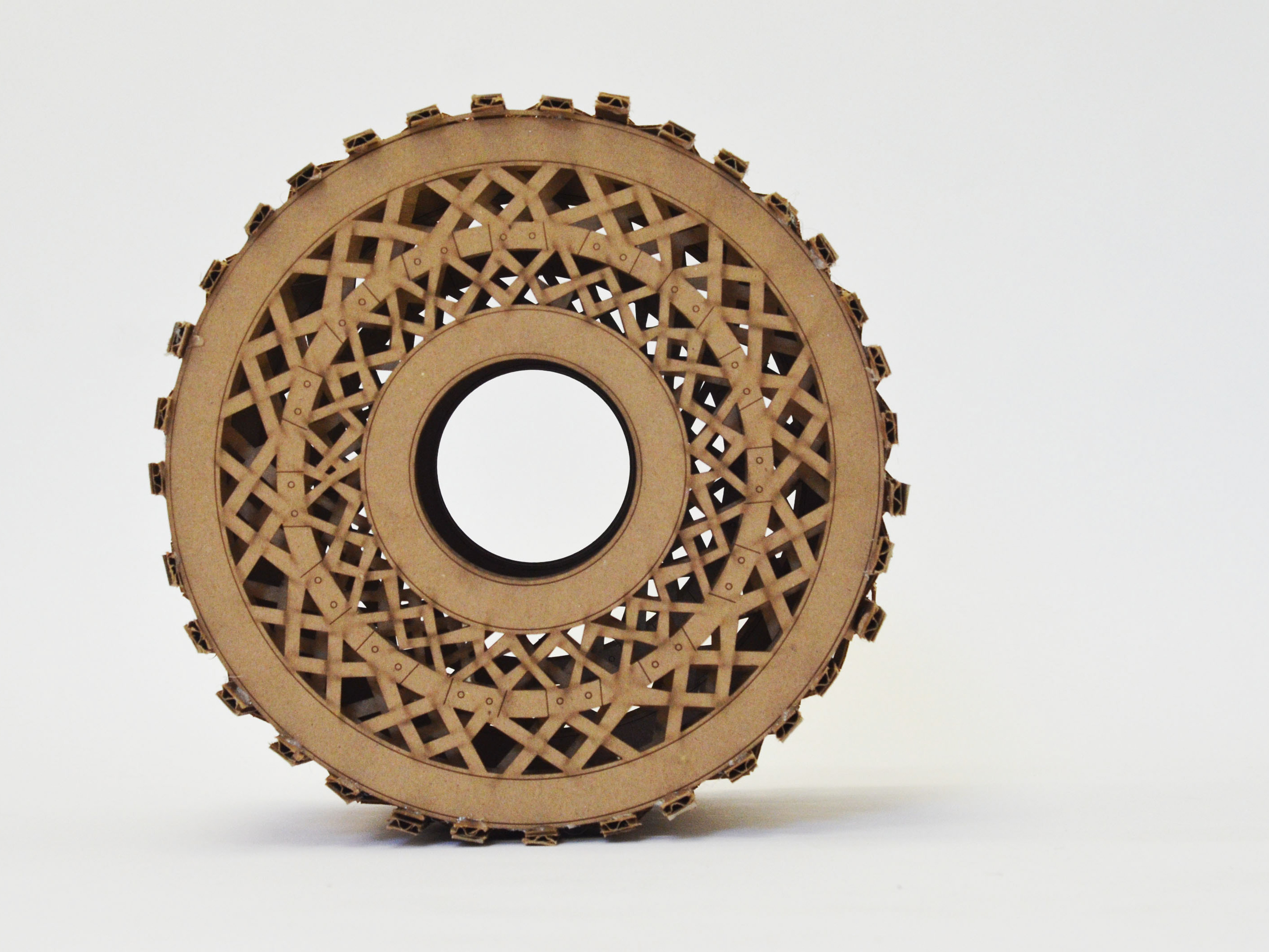
Concept Model of the Mill Valley Network
CNC Router Blue Foam + Gesso + PLA 3D Print
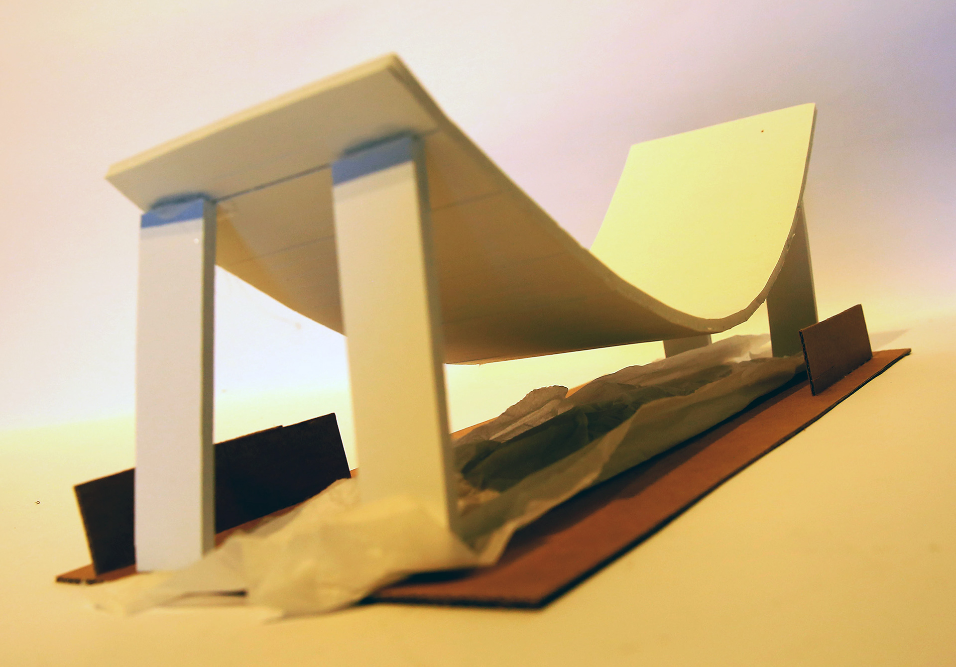
New Transportation System to Activate the Mill Valley Network
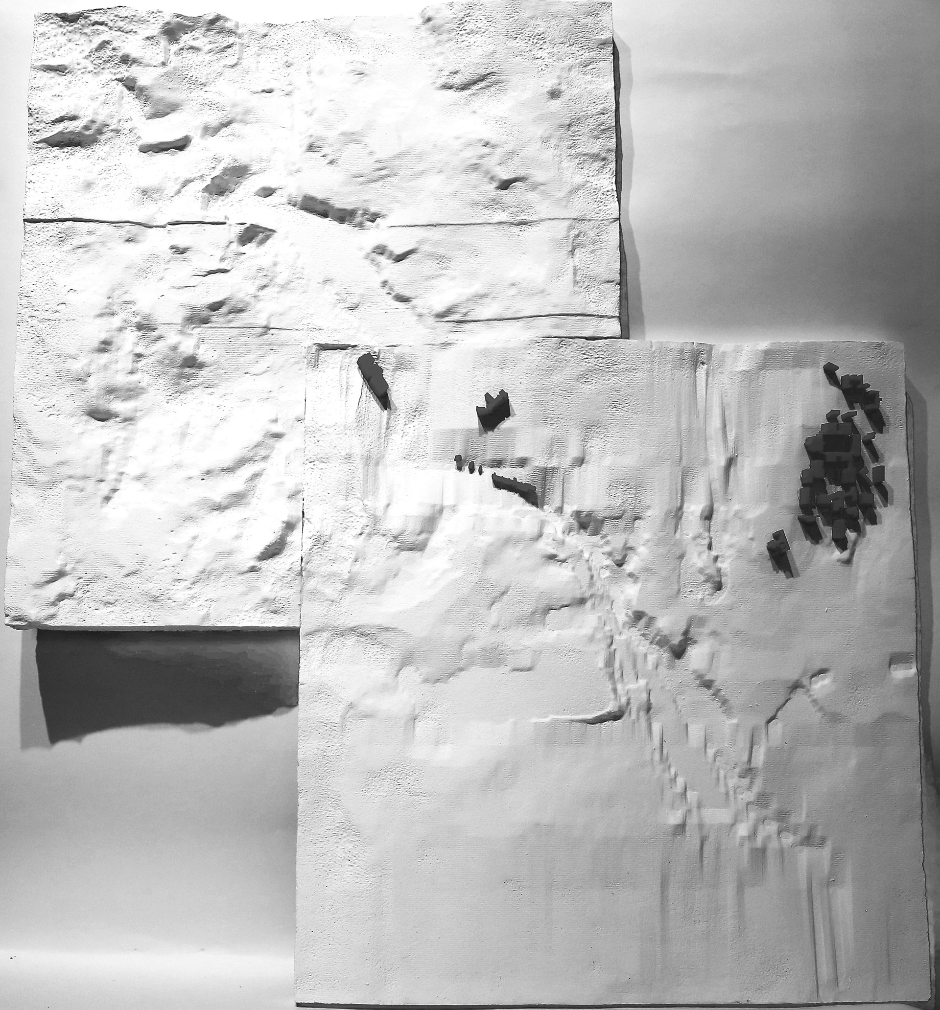
Macro-scale: Landscape Model of the Proposed Solution
Gypsum-Based 3D Printing
Macro to Micro: How Mills Intersect with the Existing Highways and Flood Plains
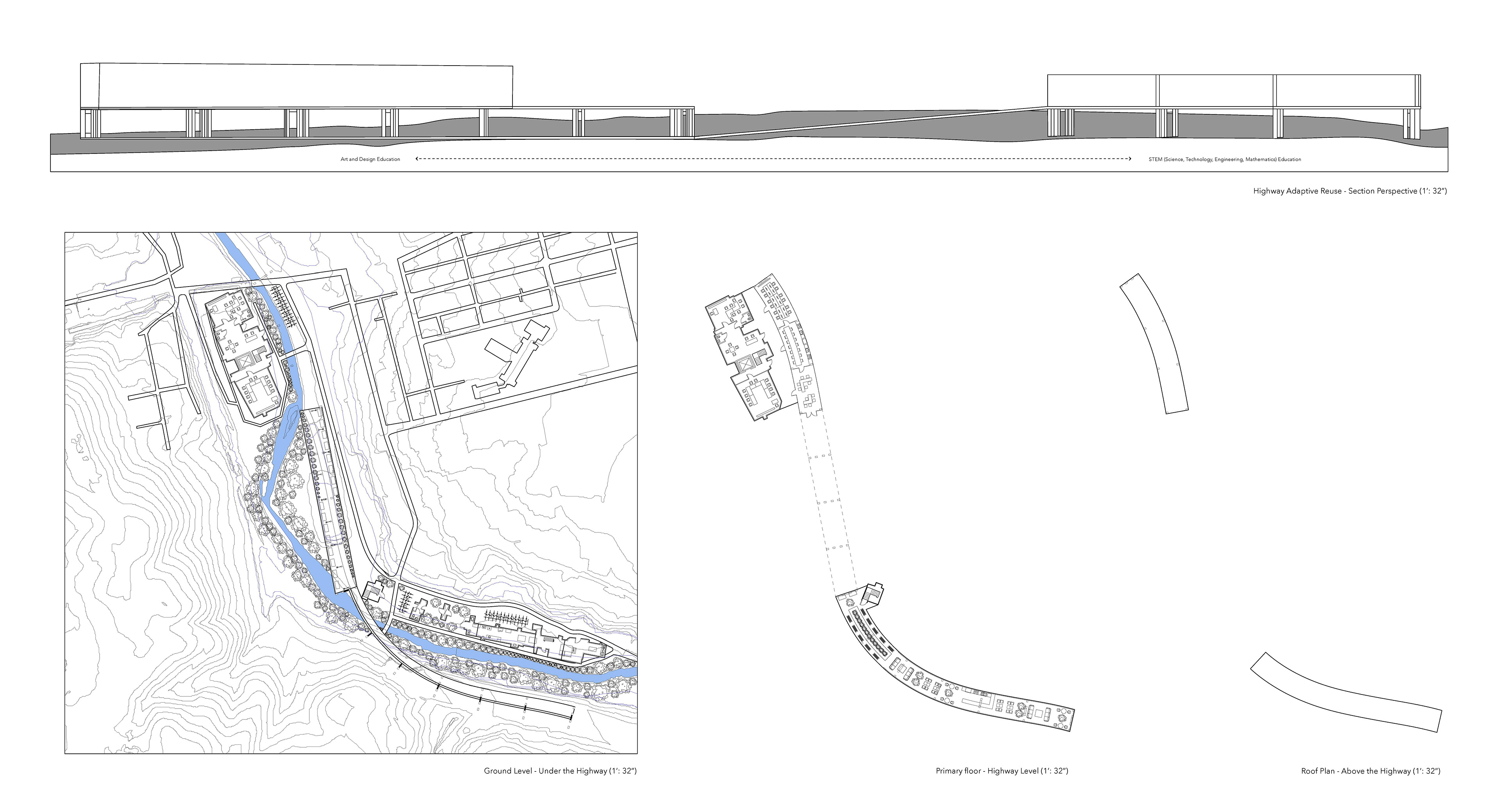
Micro-scale: Mill Valley Adaptive Reuse Floor Plans
Foamcore, Museum Board, Acrylic, Wood
Foamcore, Museum Board, Acrylic, Wood

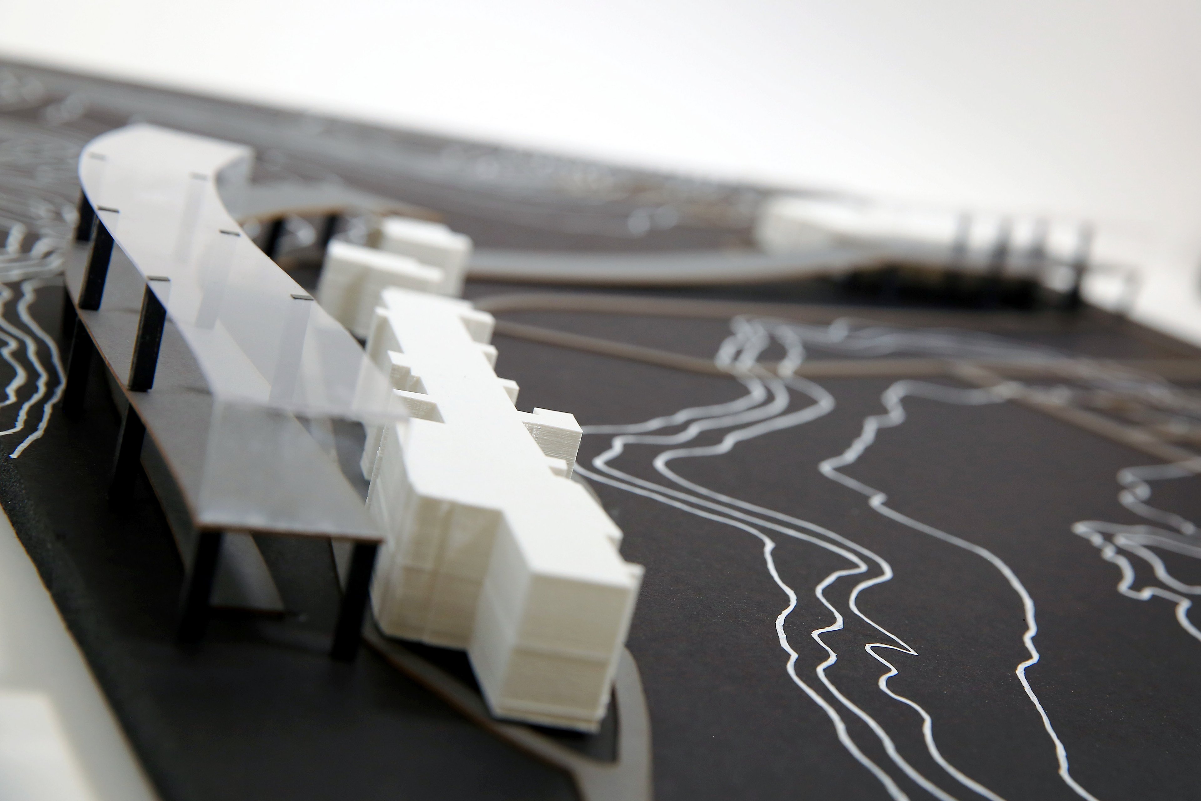
Final Model: Adaptive Reuse Solution Proposal
2019